Panta Rhei Fieldnotes
Beforethe wallschange.
Inside Lafayette’s old Trappey cannery, decades of industry meet a later layer of lettering, characters and color. We went in with a camera before the next chapter gets here.
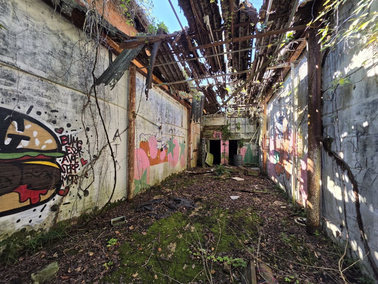
A lot of stories.
Guidry Street / Bayou Vermilion
Most people know the name on the cans. Fewer have seen what’s on the walls.
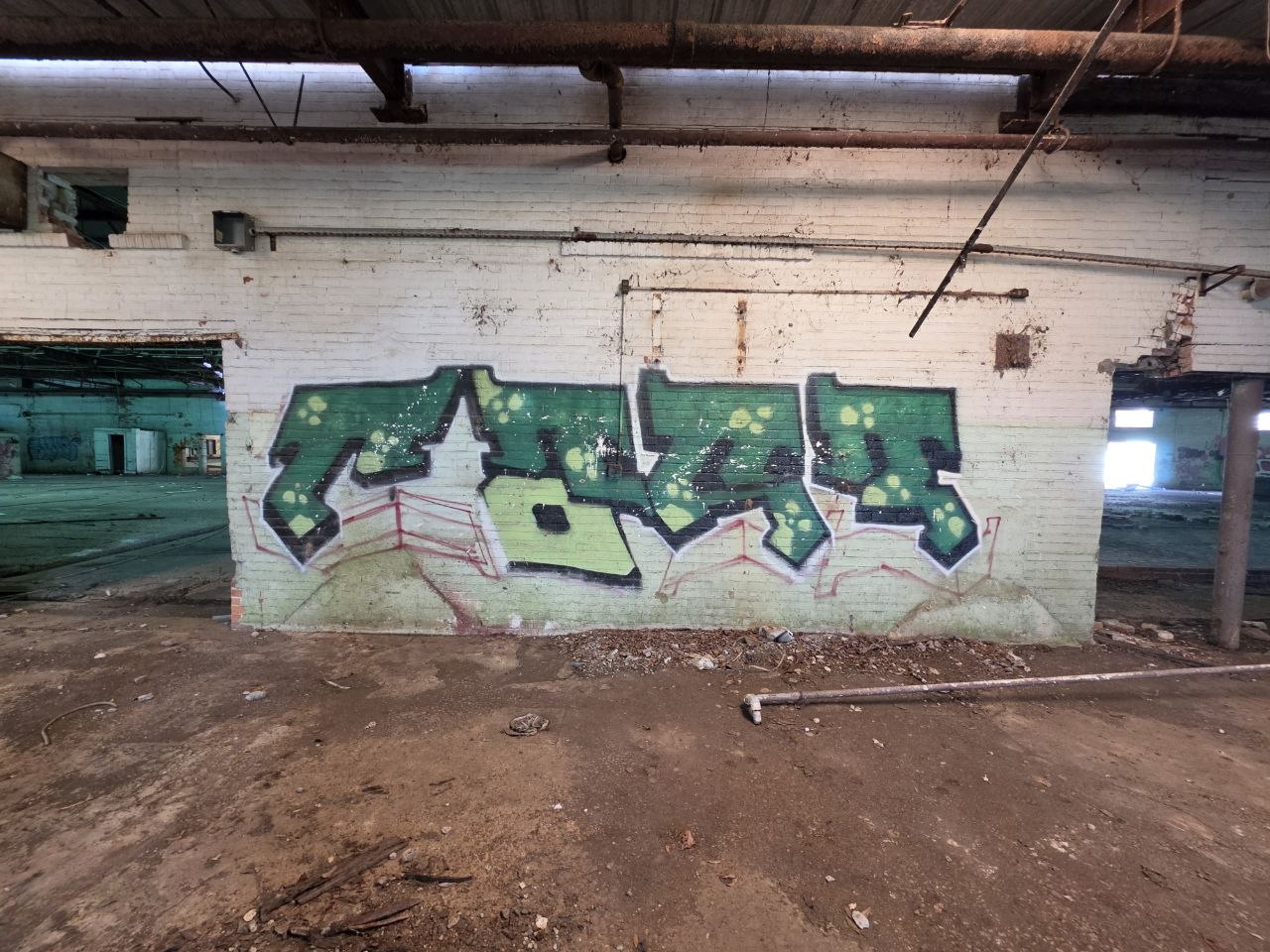
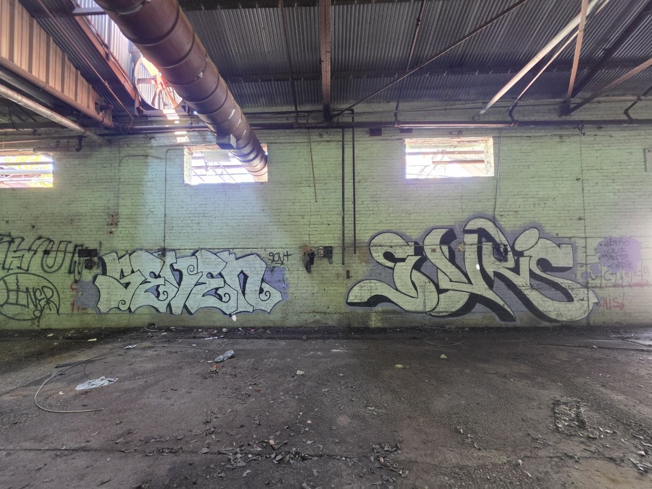
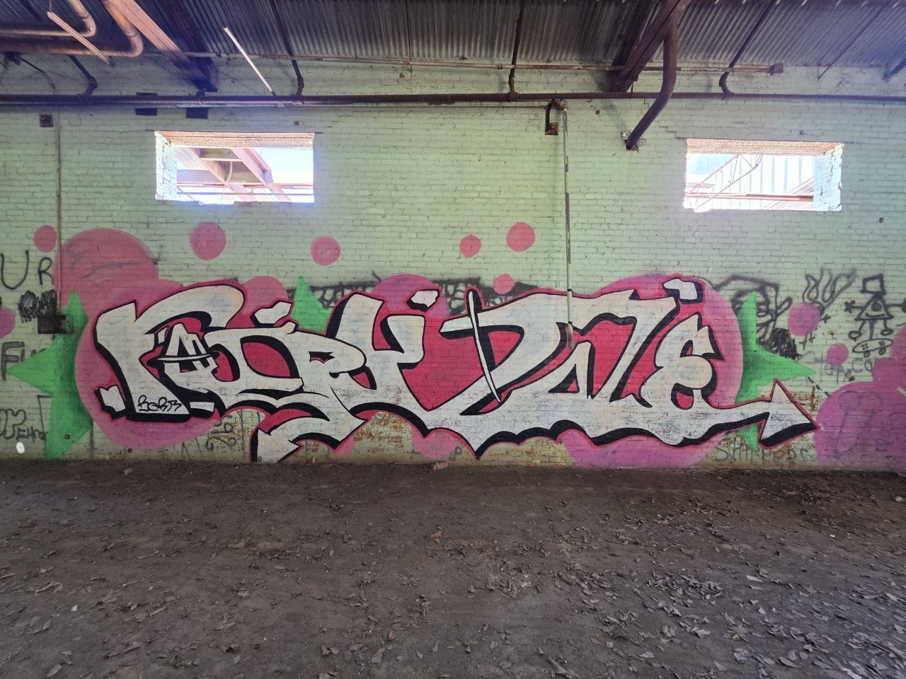
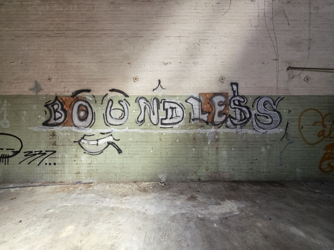
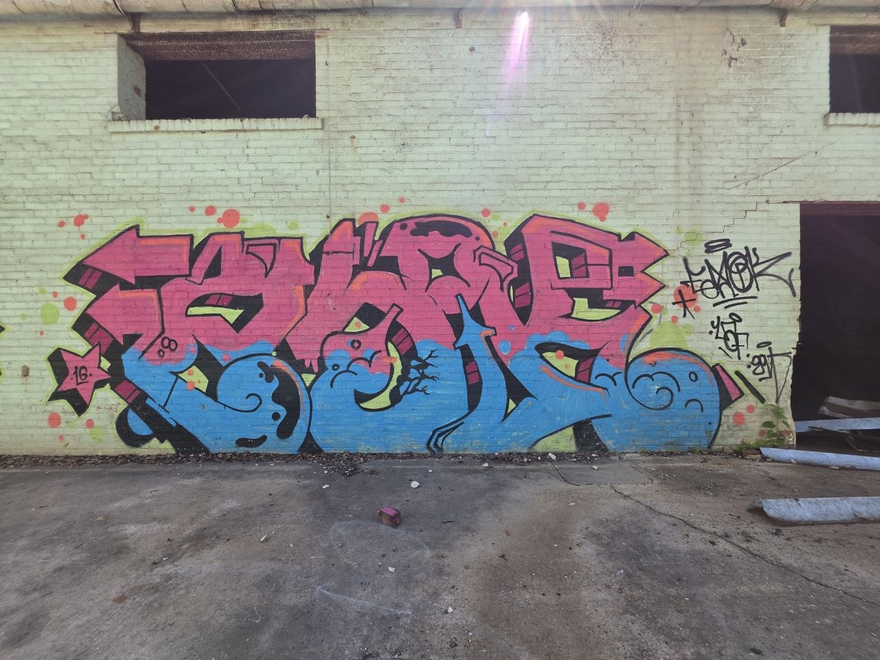
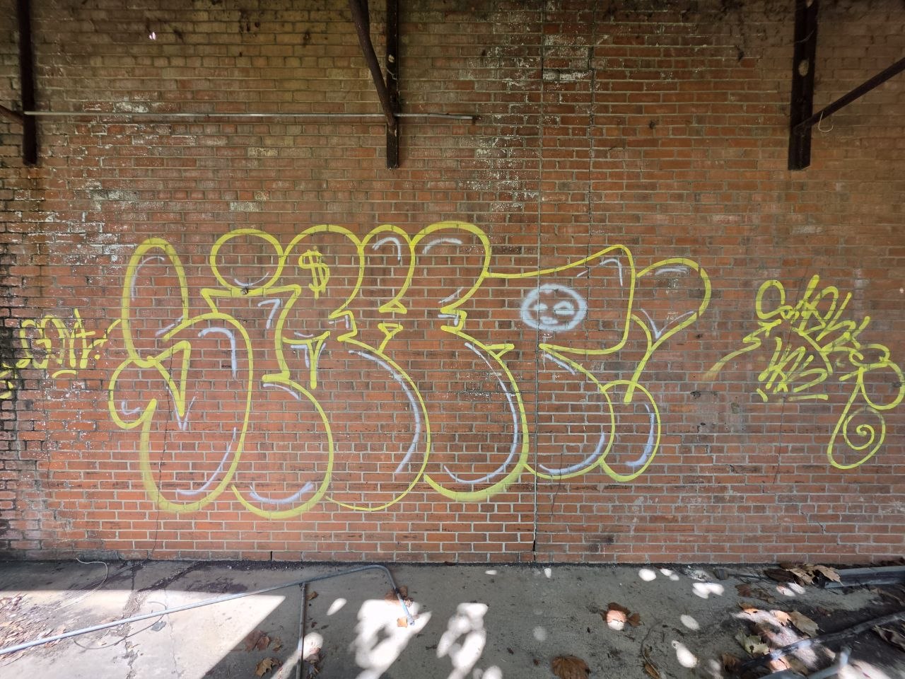
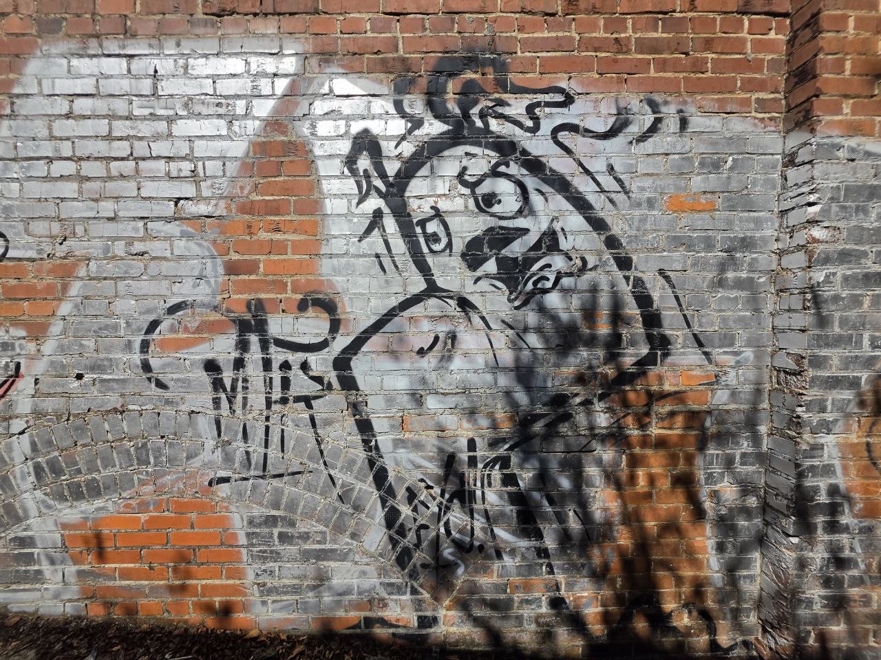
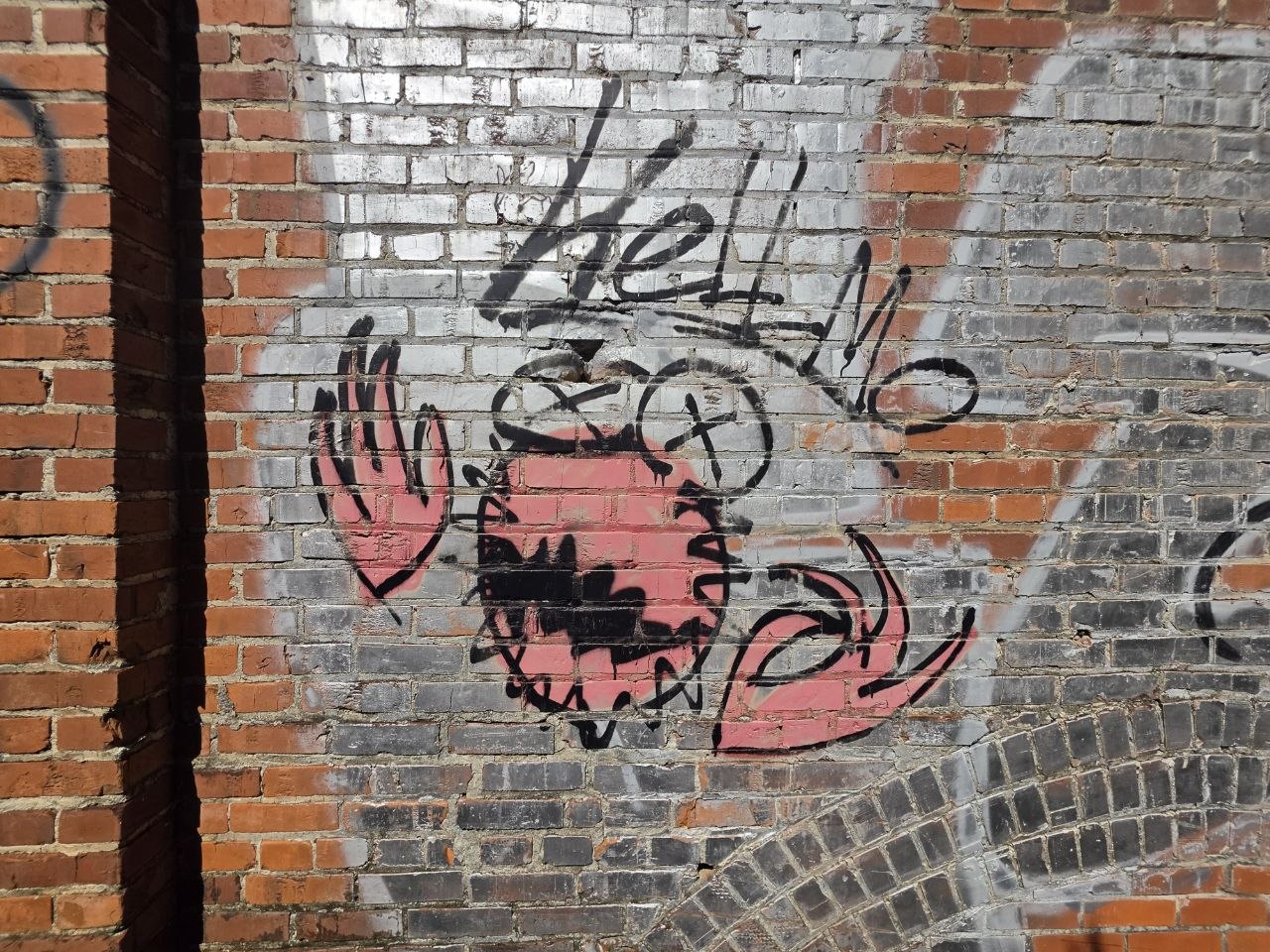
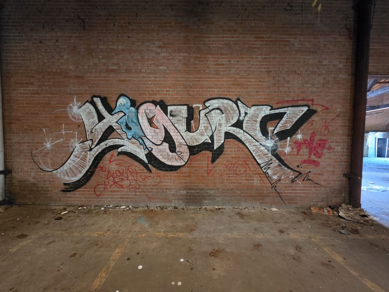
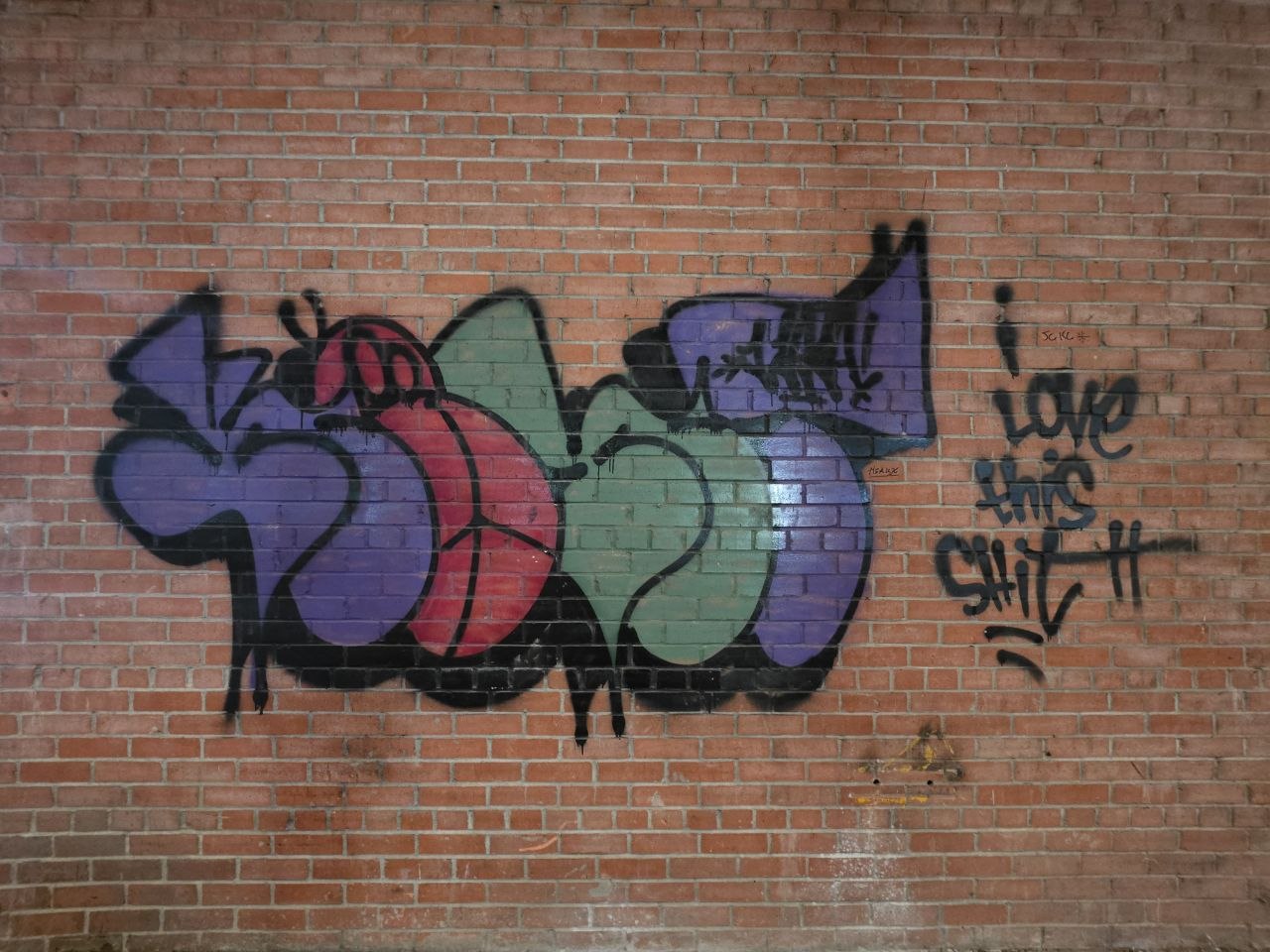
Just off the Evangeline Thruway, beside the Vermilion River, the old Trappey cannery holds a sprawling collection of lettering, characters and tags. Silver pieces run across long walls. Pink and green cut through the brick. Faces turn up between doors and windows.
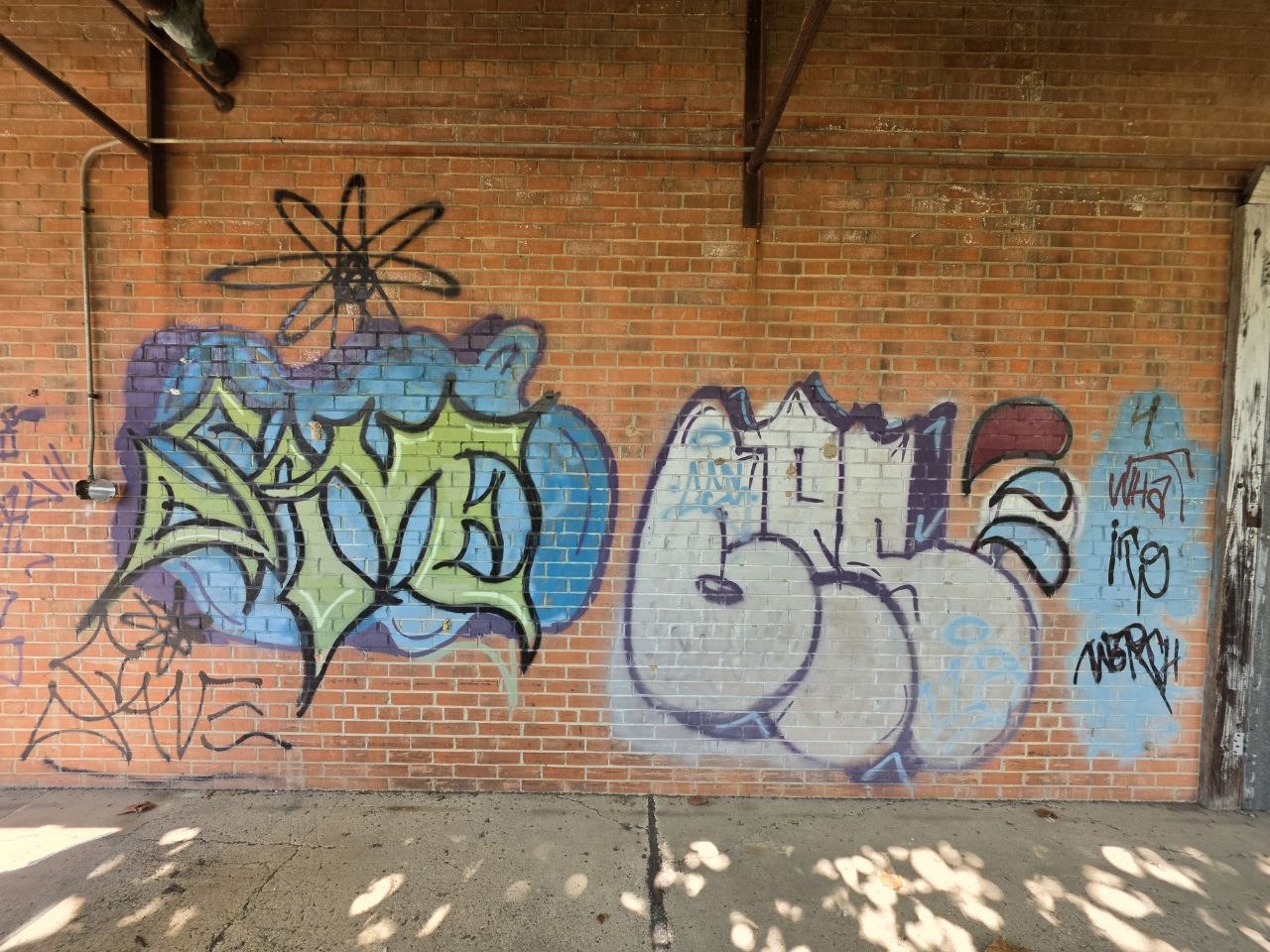
Some work has the finish and confidence to hold an entire room. Other marks are loose, small or easy to miss. Moving between them is part of the appeal: a carefully worked piece, a quick drawing, then something strange enough to stop you in your tracks.
Changes are coming to this part of Lafayette. Before they arrive, we wanted to spend some time with this version of the place: photograph the work, keep its surroundings in view and follow a few threads back through the factory’s history.
What follows is a walk through a building that continued to collect people’s marks after its original work ended. There is a lot here worth looking at, and a little more to the story than you might expect from the road.
Start with
the building.
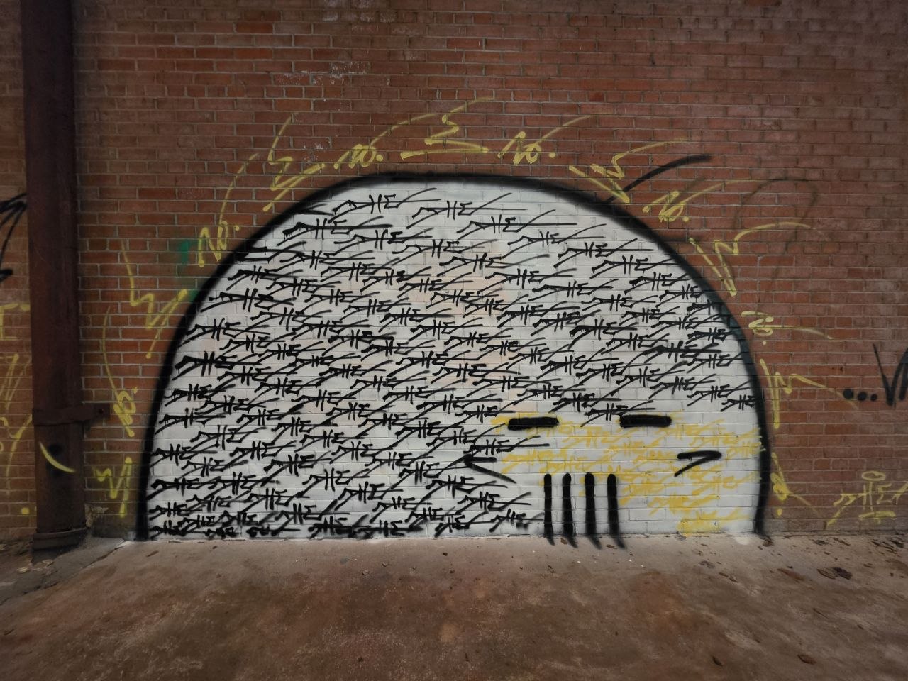
Long walls, open bays and the remains of a working factory. The setting gives the paint some of its character.
The factory’s working layout is still there in the wide bays, loading doors and runs of pipe overhead. Large, practical surfaces have become places for lettering and characters. The scale suits the bigger pieces; the smaller drawings find their own corners.
Light enters through breaks in the roof. Plants have found their way around the edges, and old white paint has worn back to brick. Each surface comes with its own color, texture and wear before a new mark is added.
We kept those surroundings in the photographs. A piece beside a loading door has a different presence from one on an uninterrupted wall. The room gives you scale, and the daylight changes which details come forward. It is worth seeing the whole arrangement.
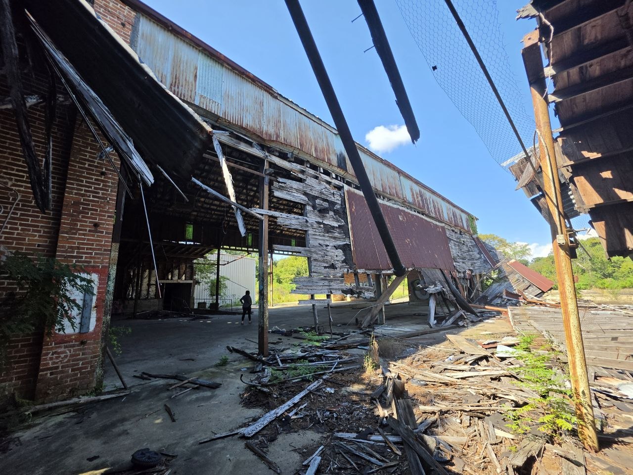
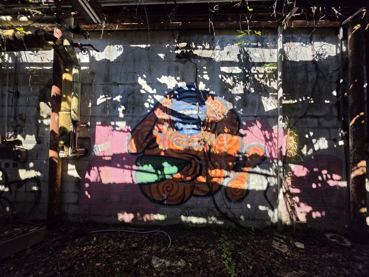
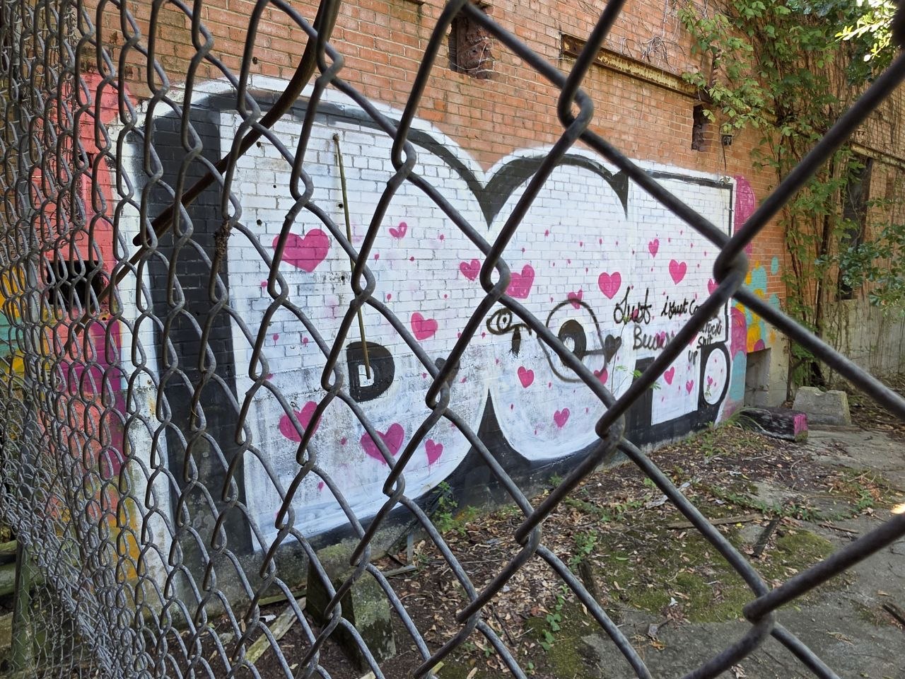
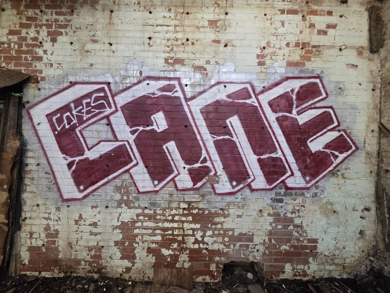
Same name.
Different wall.
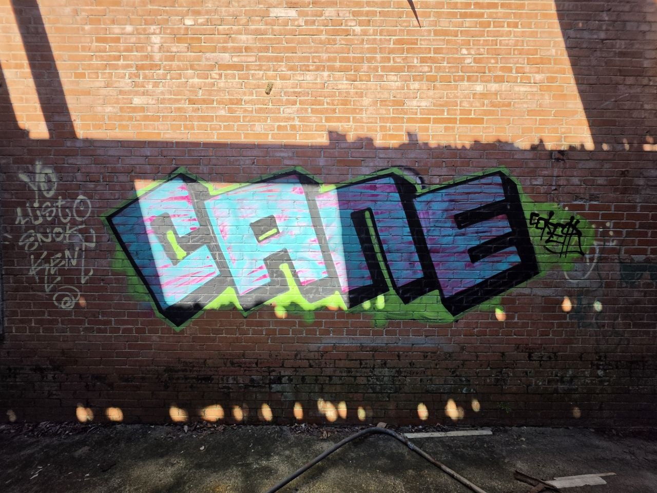
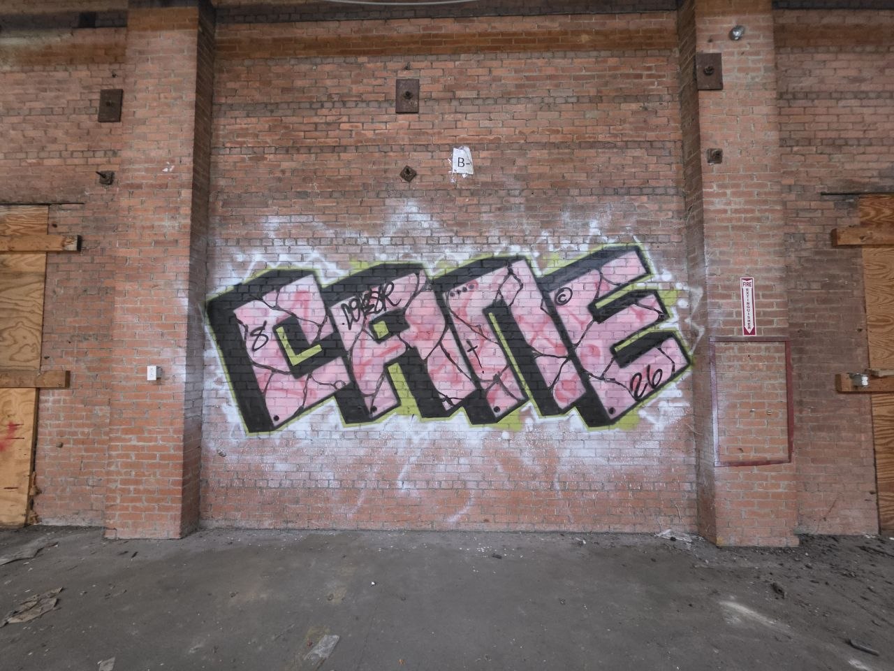
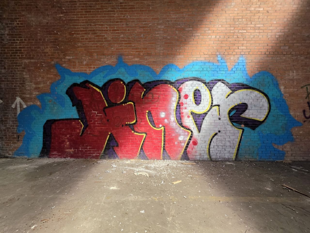
The red CANE piece sits across patchy whitewash and exposed brick. Blue and pink versions appear elsewhere in the collection, each giving the same name a different weight and pace.
Seeing those treatments together is part of the interest. The lettering changes, and so does the surface behind it. Old paint, brick joints and sunlight all have a say in the finished view.
There was a lot here
before the paint.
A river crossing, a working district and a factory that carried Acadiana’s food well beyond Louisiana.
Start at the river.
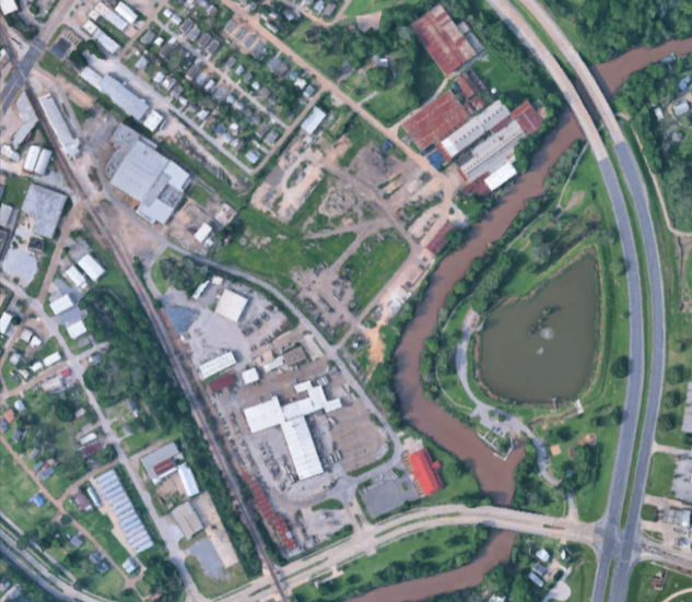
The cannery occupies a stretch of Guidry Street on the northwest bank of the Vermilion, beside the Evangeline Thruway. Its industrial history is one layer of a much older landscape of trade around the nearby Pinhook crossing.
The settlement known as Petit Manchac, later Pinhook, served Indigenous people, traders, trappers and colonists. During low water, the crossing was a practical limit for boats bringing goods upstream. Cargo had to make the rest of its trip over land.[3]
Local histories place a trading outpost at Pinhook before Vermilionville developed around its church and courthouse. The crossing connected people and goods long before the roads we now use made it familiar as a place to drive through.[4]
Then came the cans.
State preservation records put B. F. Trappey’s Sons’ purchase of this industrial property in 1930. Existing buildings were adapted for canning, and the Lafayette operation ran from January 1931 to March 1991. Sweet potatoes, okra and red beans were among its products. Some buildings had earlier lives connected to lumber and salt processing.[1]
Kelly Calhoun’s preservation research traces the family business back to pepper-sauce bottling around 1898. It records more than twelve million pounds of canned candied yams produced for U.S. and allied forces during World War II, and employment ranging from roughly 350 people to 600 at harvest peaks.[5]
Behind the familiar label was a substantial workplace, tied to local agriculture and markets far beyond Lafayette. The cannery was listed on the National Register of Historic Places on October 7, 2022.[2]
Trappey’s buys the industrial property.[1]
The Lafayette cannery opens in January.[1]
Canning ends in March.[1]
The site joins the National Register.[2]
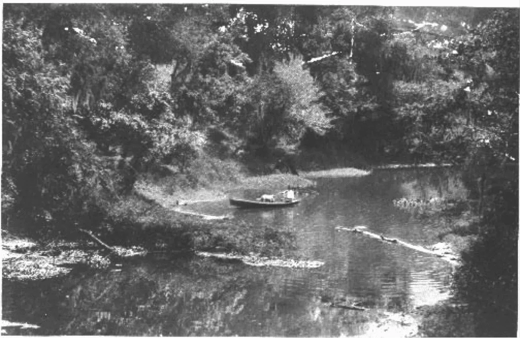
A different kind
of commute.
A small boat, wooded banks and a crossing with a very different pace from today’s Pinhook traffic. These photographs show the wider river corridor and help place the cannery within a longer local story.
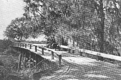
When the river
stopped the crossing.
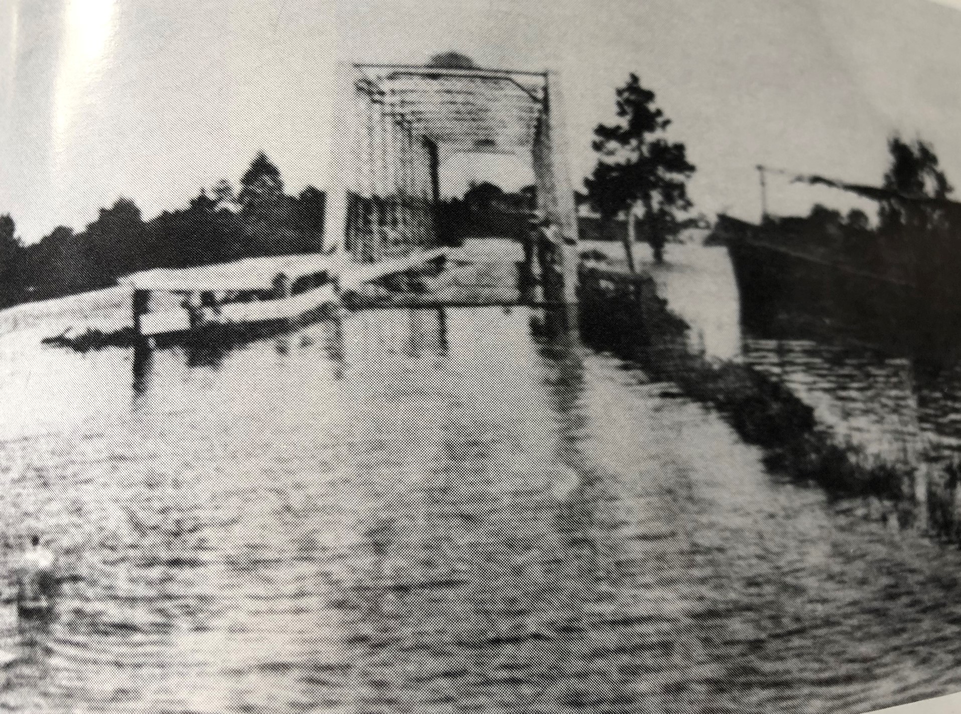
The photograph below shows Pinhook Bridge during the 1927 flood. Discover Lafayette identifies the bridge as impassable at the time. Its account also describes Lafayette becoming a major refuge for people displaced by flooding elsewhere in the region.[8]
The river shaped daily life here, carrying trade and occasionally interrupting it. In this photograph, the familiar crossing has become a reminder of the water’s reach.
A city built
to move goods.
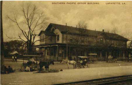
The railroad arrived in Vermilionville in 1880 and helped the town grow as a center for trade and distribution. This 1916 postcard shows Southern Pacific’s downtown office, rather than a building at Trappey’s.[7]
At the cannery itself, Calhoun’s building history describes a train passing beside a warehouse loading dock. The building was part of a wider network of farms, freight and markets, with the loading dock as one of its everyday points of connection.[5]
Another industry
changes the area.
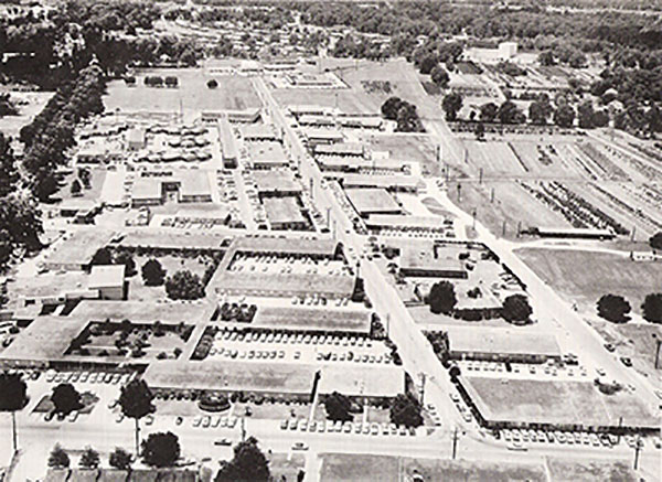
Farther along the Pinhook corridor, Maurice Heymann developed the Oil Center for the growing oil and gas industry during the 1940s and 1950s. It brought another concentration of employers and services to this part of Lafayette.[10]
LAGCOE’s history places its first unofficial exposition in an Oil Center office parking lot in 1953. The aerial above comes from that archive, although the photograph itself is undated.[9]
River trade, rail, food production and the energy business helped shape this part of Lafayette. The cannery’s walls belong to that working history, and the graffiti adds a later, less formally recorded chapter.
Let the walls
do their thing.
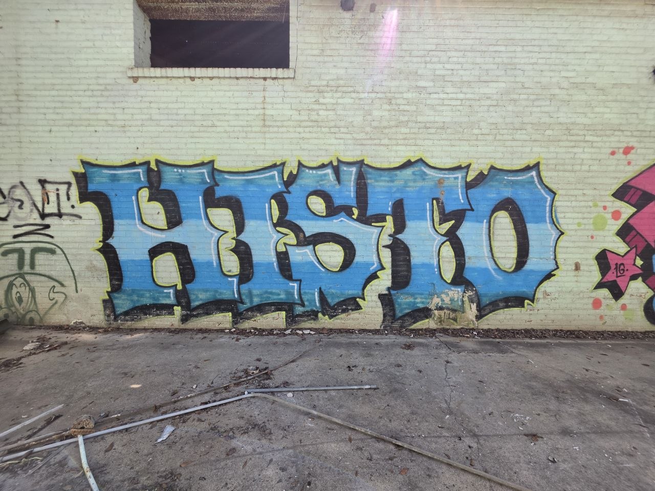
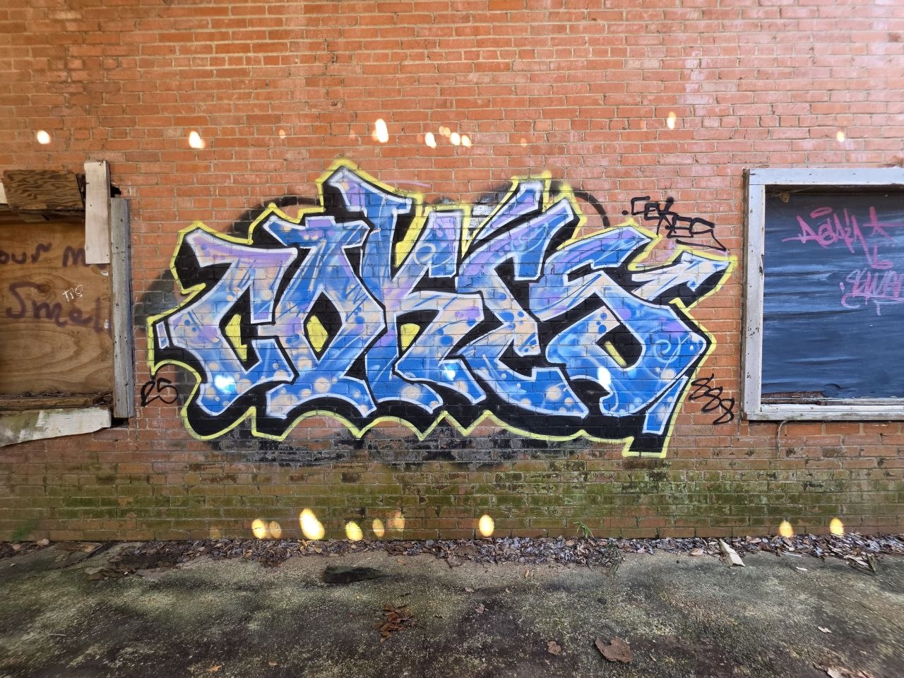
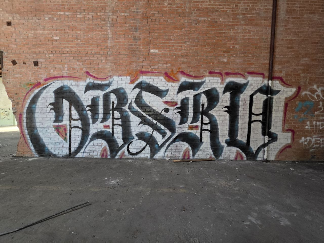
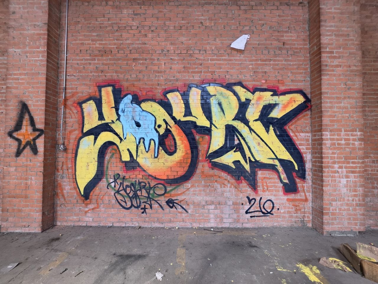
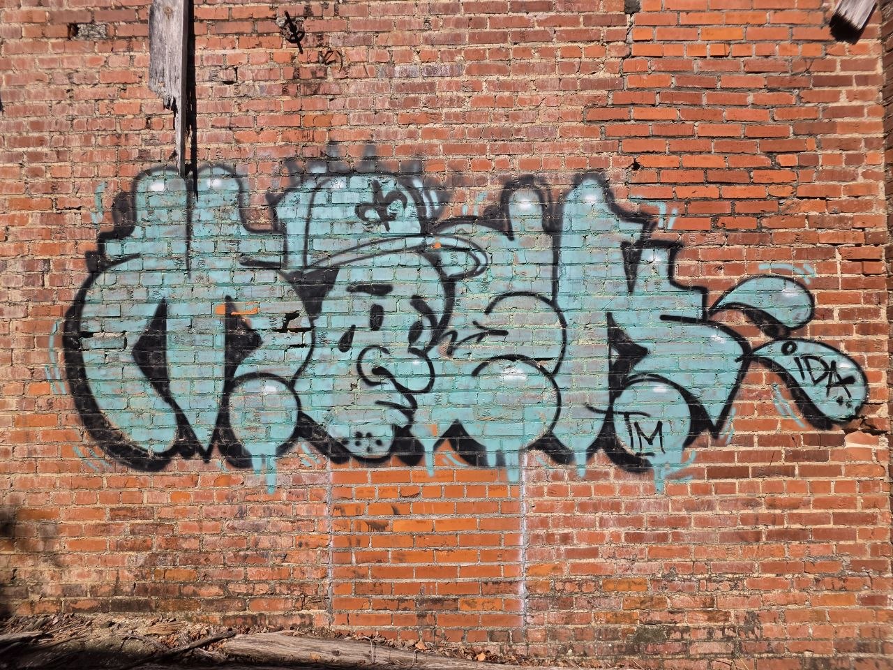
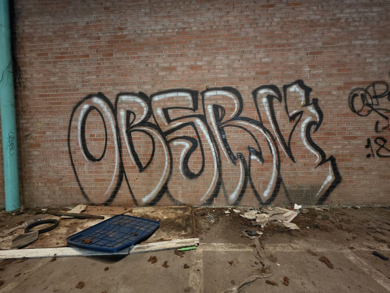
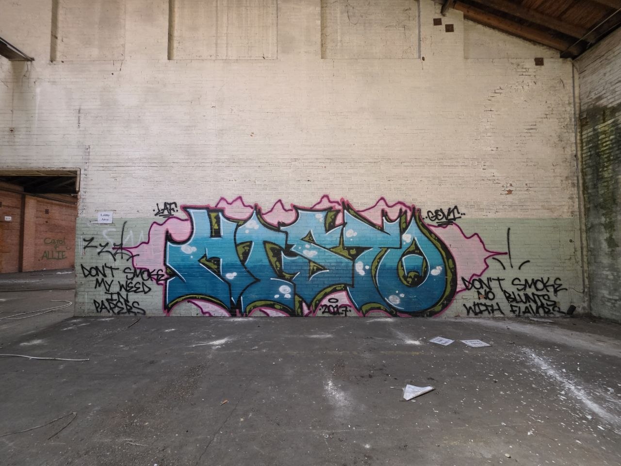
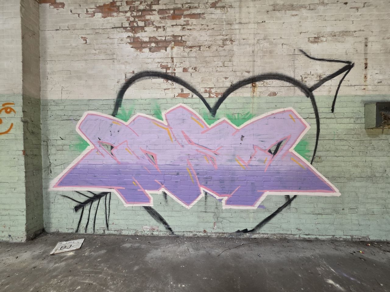
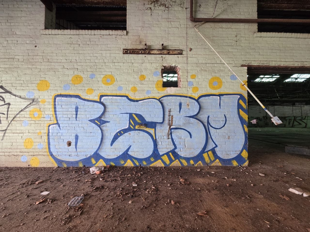
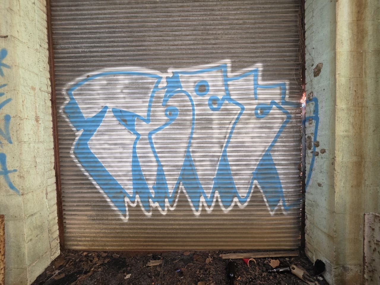
Much of the work begins with a name, then lets the letters take on a life of their own. Some stay broad and readable. Others fold into tight angles, deep shadows and overlapping shapes. The word becomes something you can look at as much as read.
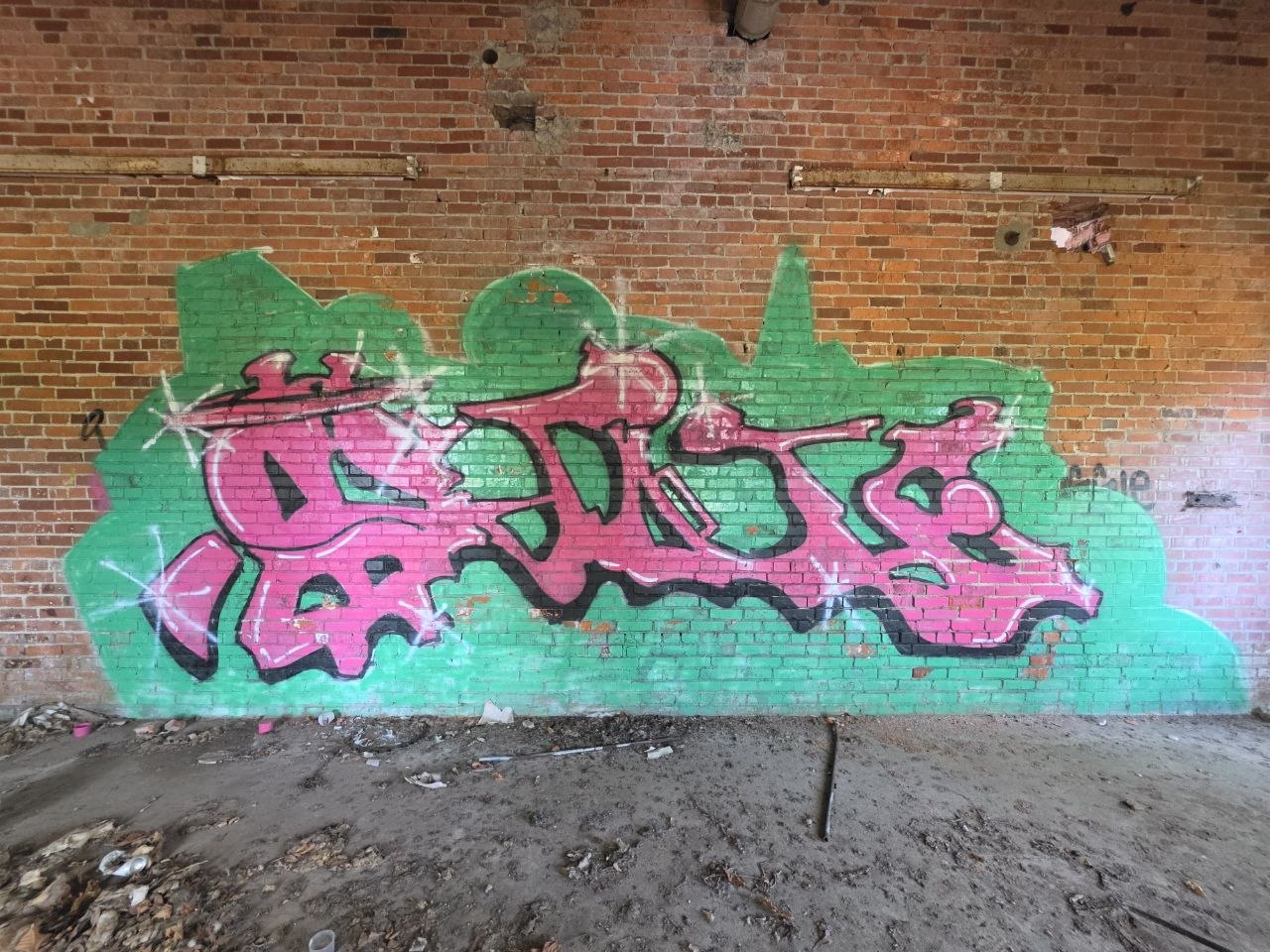
Silver and black give way to pink and green as you move through the rooms. A full piece can take over a bay; a thin outline can leave almost every brick visible. Both approaches find a place here.
You do not have to decode every tag to appreciate the work. Follow an outline, notice where a highlight lifts an edge, or look at how one color sits against another. There is real control in some of those moves, alongside a welcome amount of play.
Take a second
with this one.
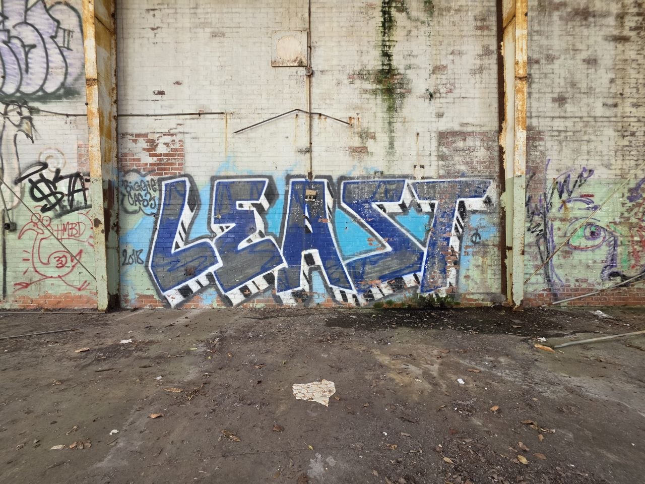
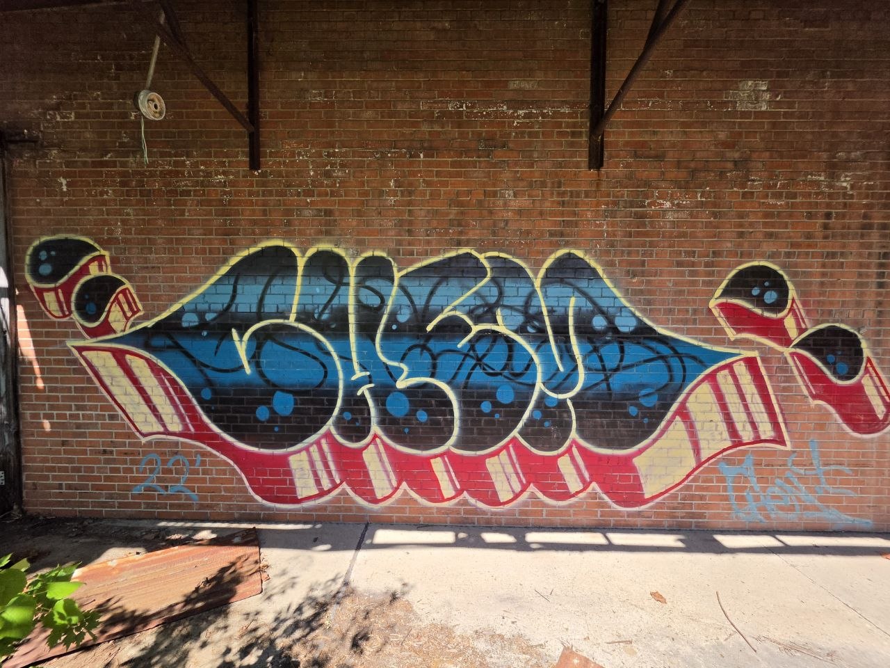
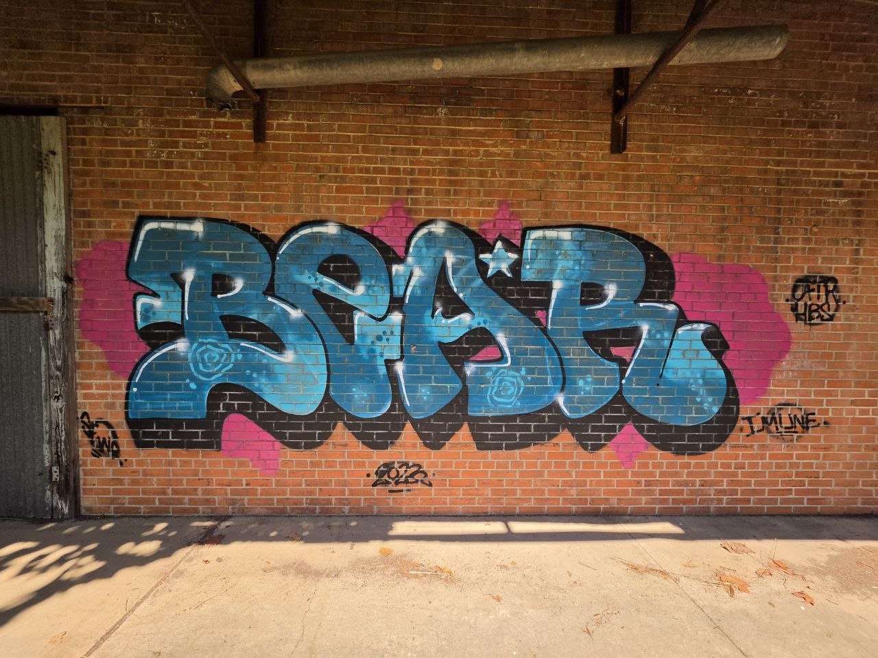
Blue and silver lock into a dense run of turns, held together by dark edges and small highlights. At first you get the whole shape; stay with it and the construction begins to separate into individual strokes. A good one to spend a minute with.
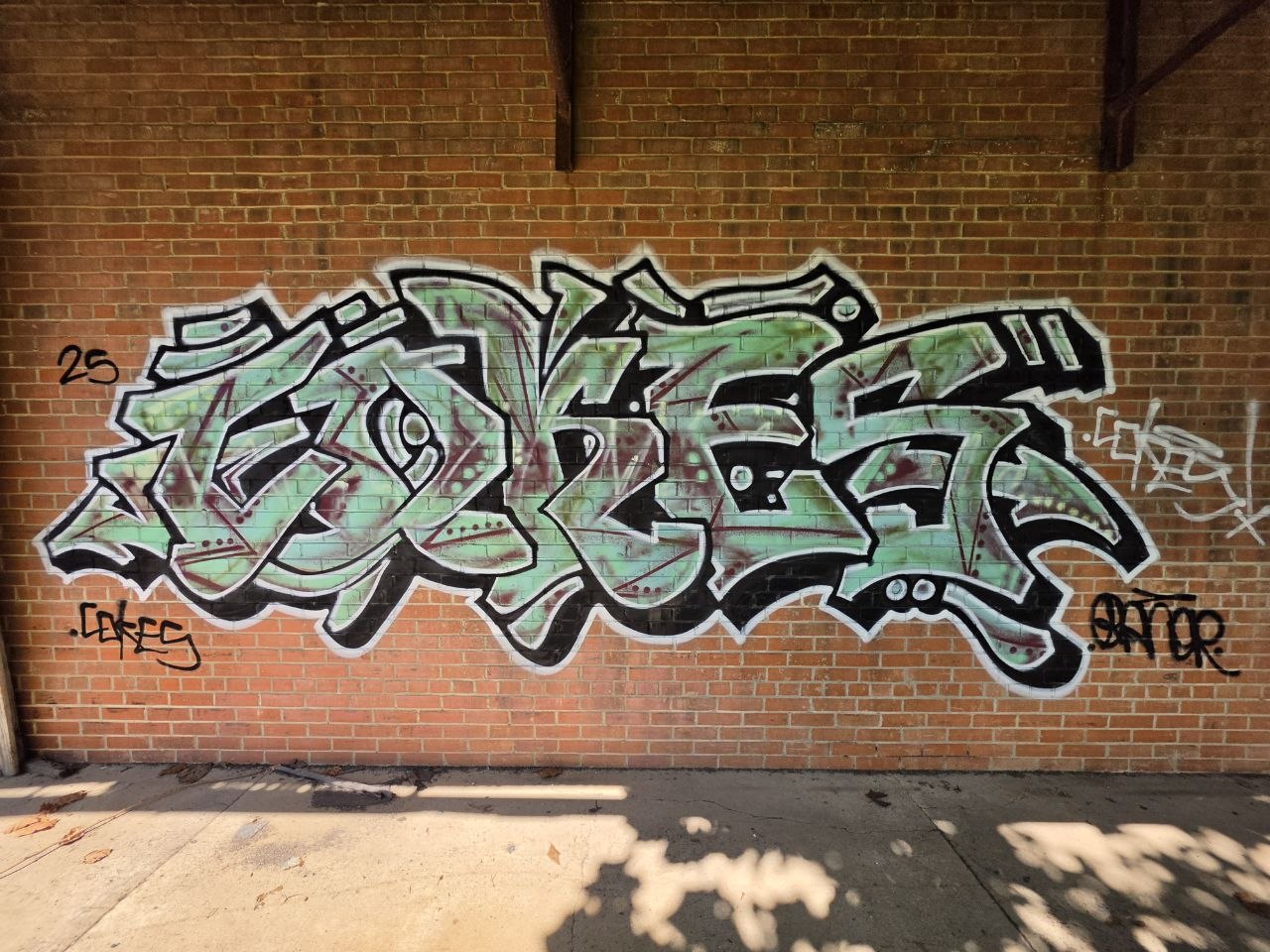
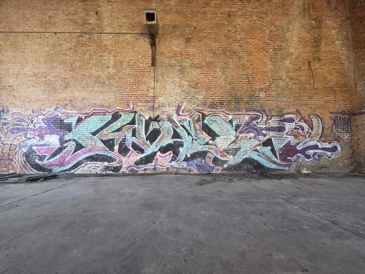
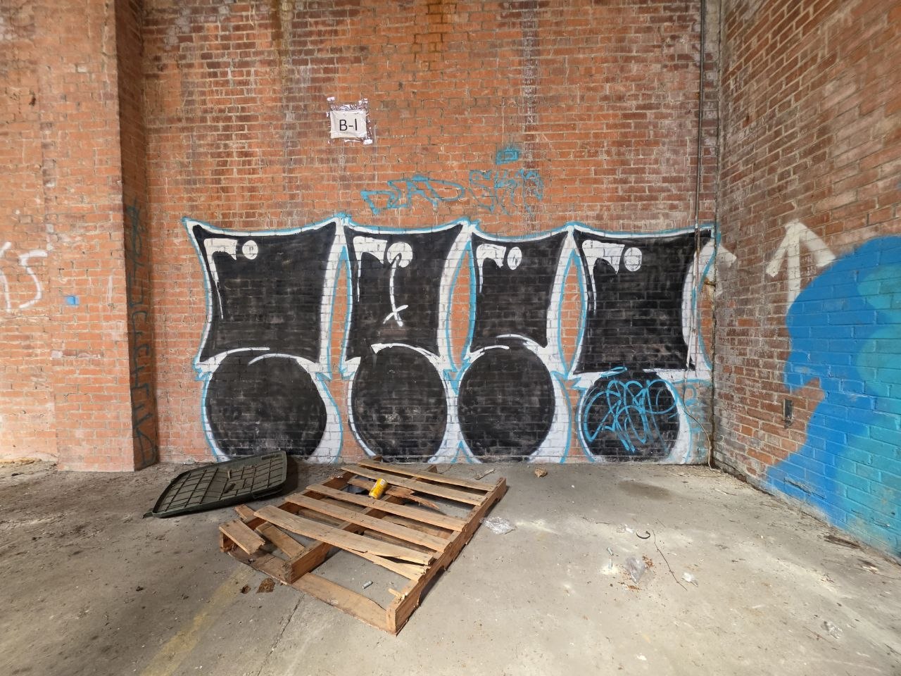
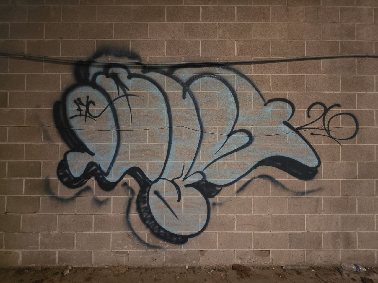
The neighboring pieces make their own comparisons: a heavy fill beside a spare outline, or a tightly worked silver piece next to something looser and brighter. The photo index keeps those differences together. There is no single house style to the place.
And then there’s
this guy.
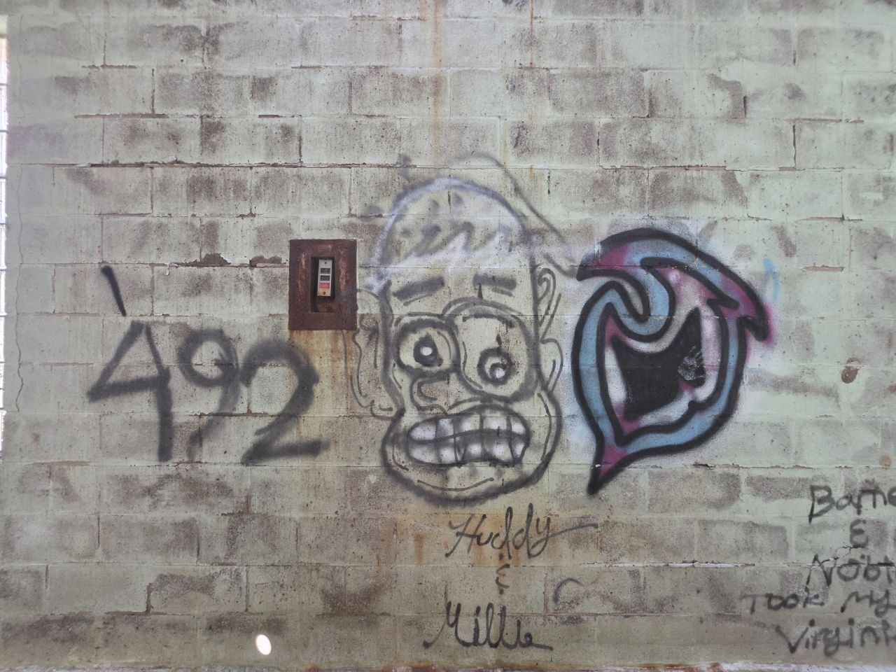
Characters, familiar references and a little offbeat humor between the names.
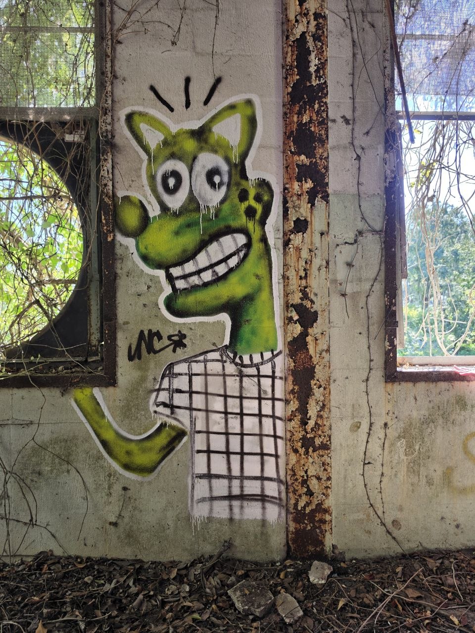
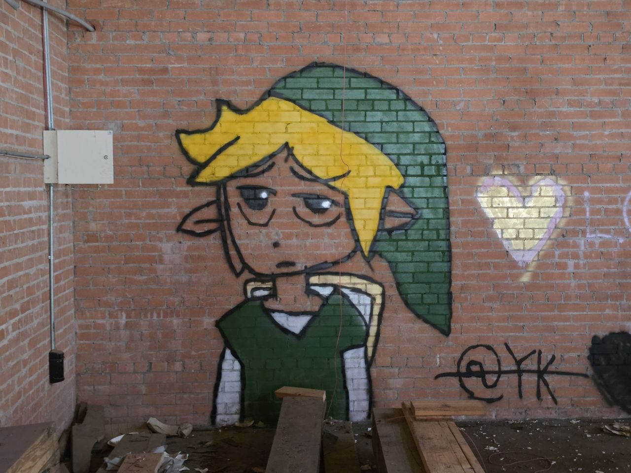
The characters change the tempo of the walk. A face gives you something to recognize immediately: eyes, a mouth, an expression. The green figure by the window takes a narrow strip of wall and makes it hard to ignore. The blond figure in the cap seems to be having a considerably longer day.
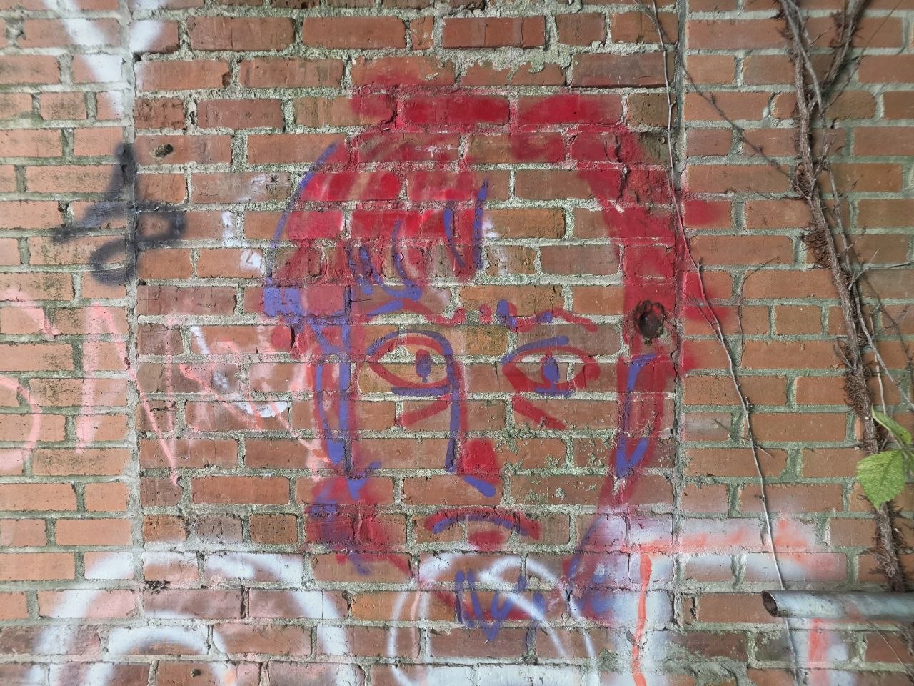
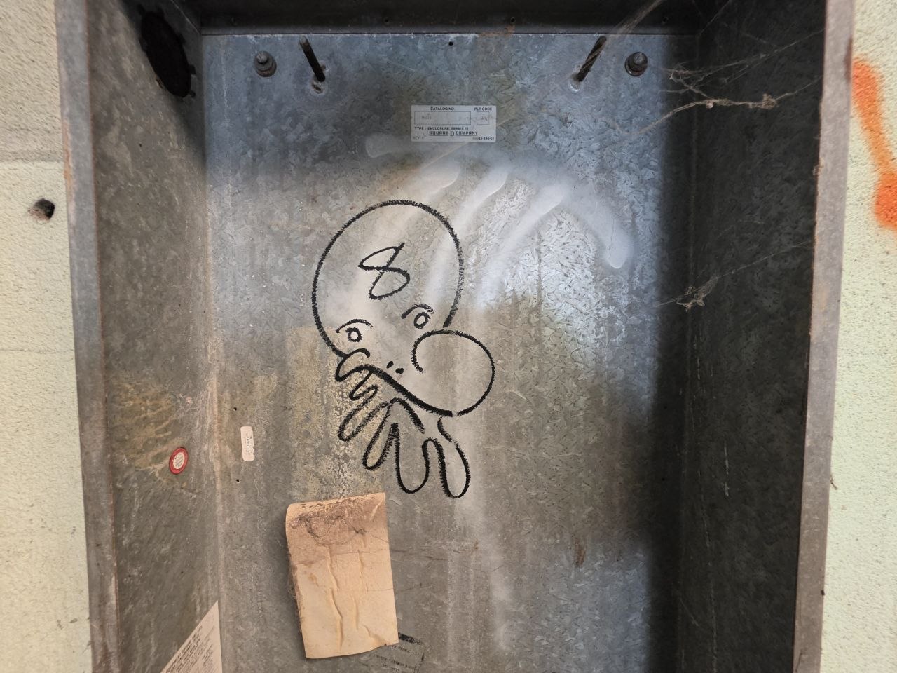
Some are built up with solid color and careful edges. Others get their expression from a few lines and the wall left visible between them. The range runs from cartoon familiarity to stranger, less settled faces, with a few moods most of us can recognize.
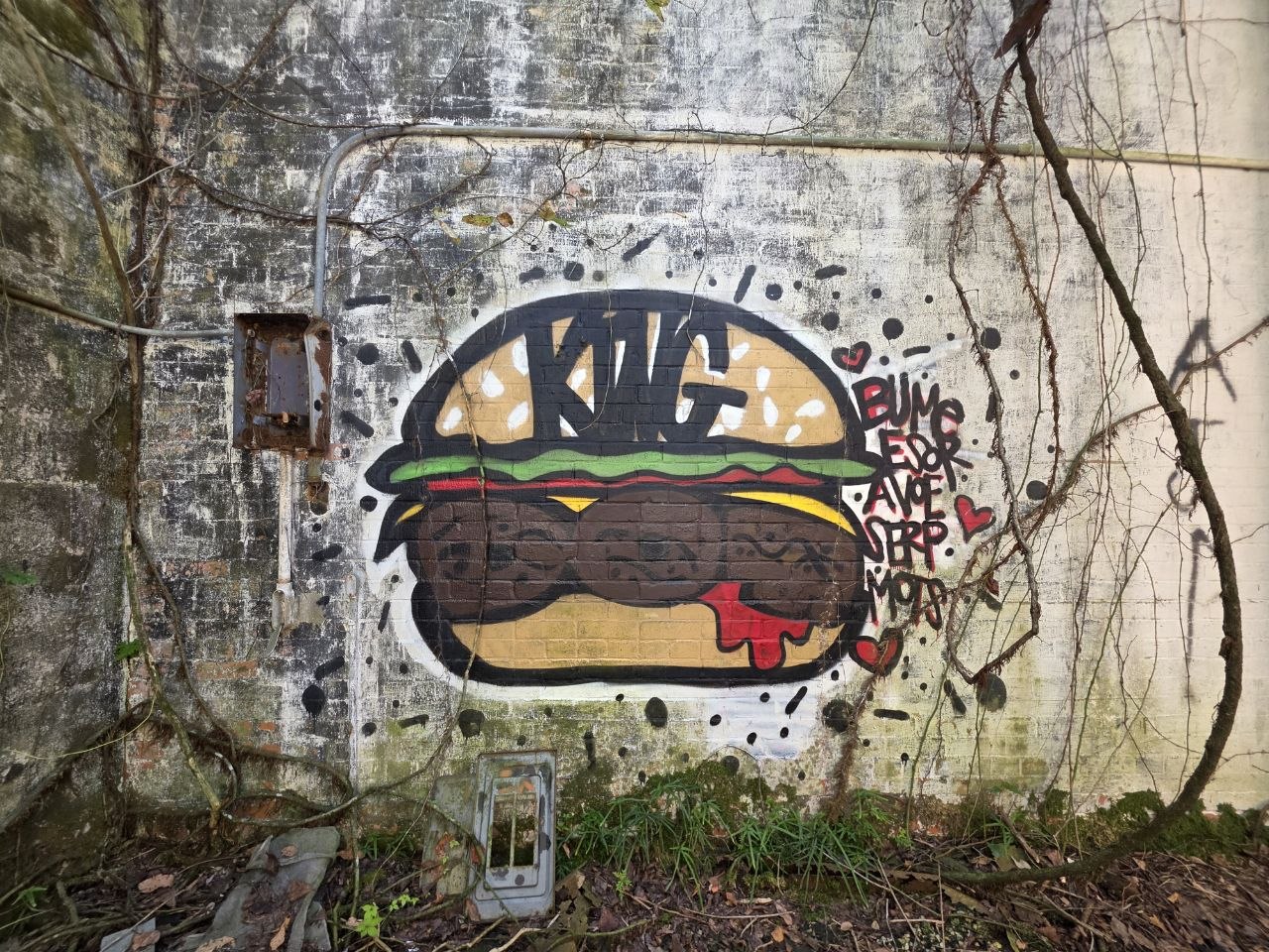
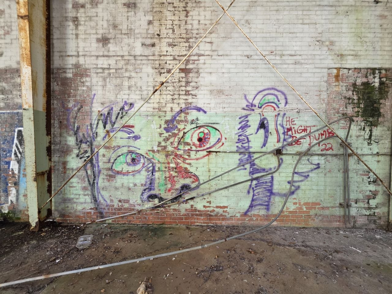
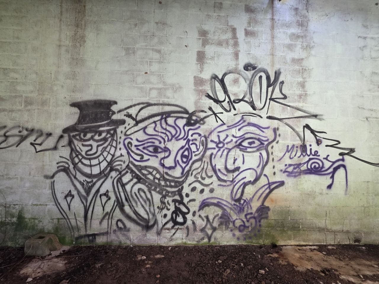
The burger brings a little pop-art humor to a weathered wall. The group of faces in black and purple takes longer to untangle, while the lightly drawn portrait lets the surface show through. Each asks for a different kind of attention.
That mix gives the collection its character. Finished pieces, quick drawings and odd little discoveries sit together without much ceremony. A building can collect quite a cast over the years.
This is
where it starts.
New ownership. A different direction.
The photo index.
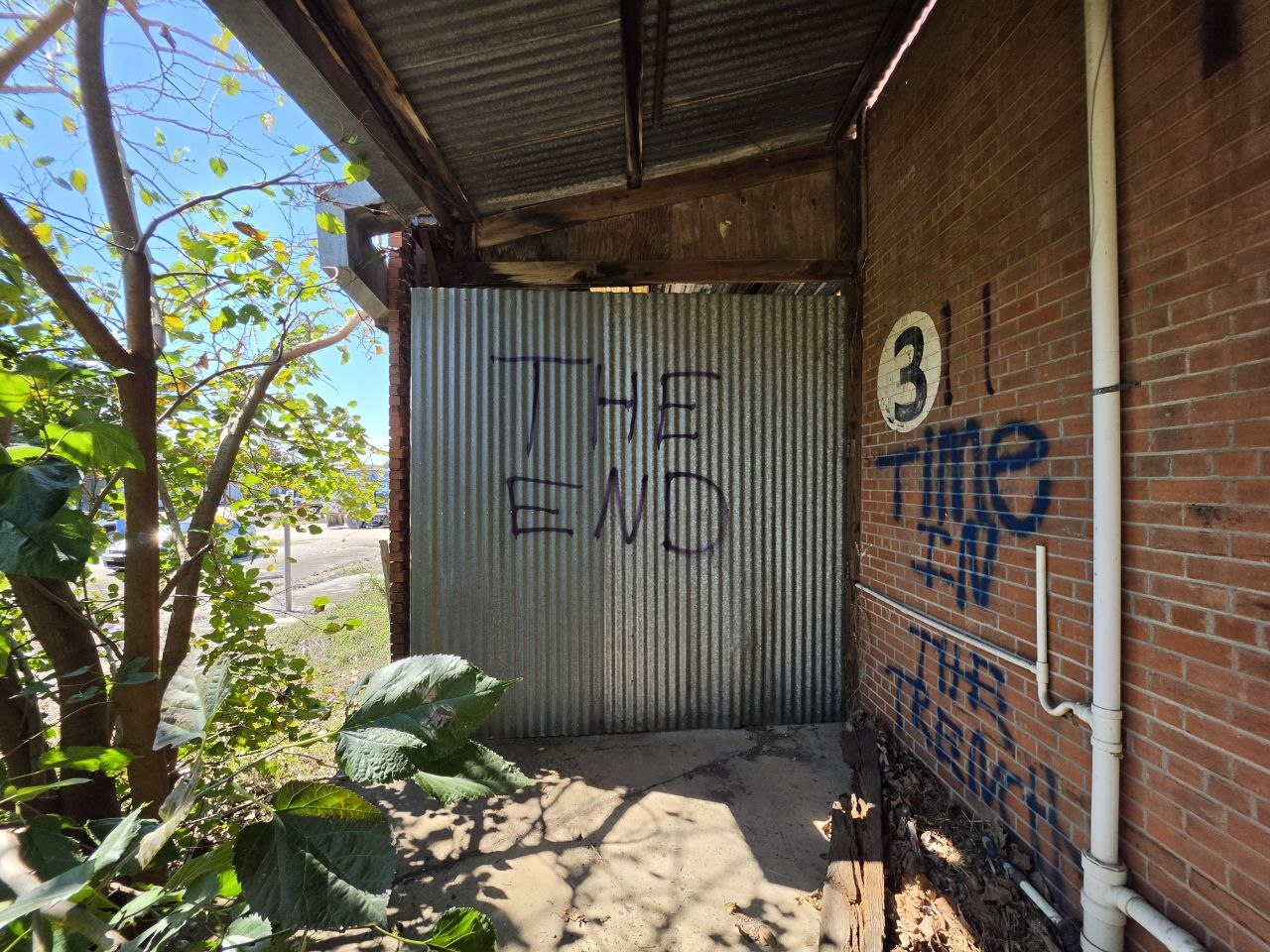
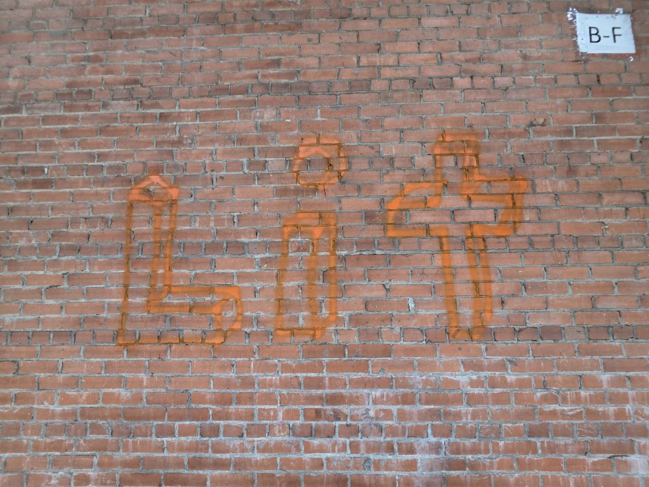
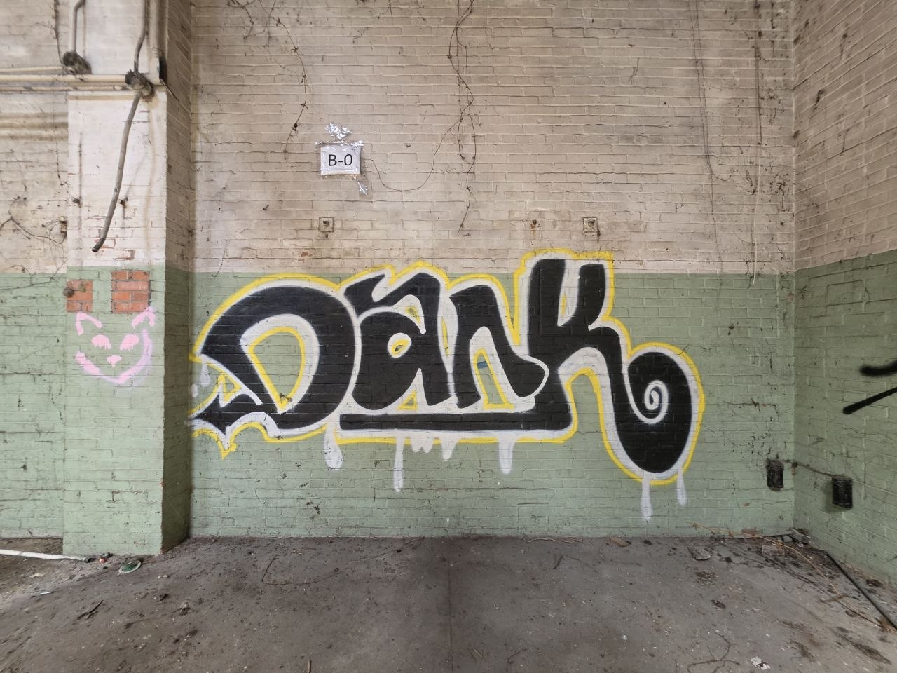
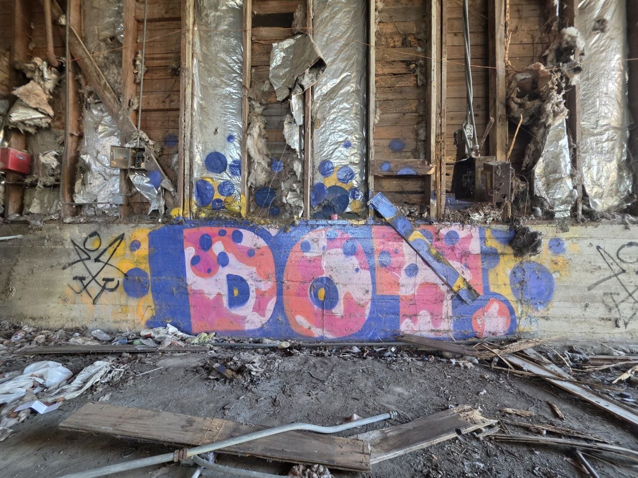
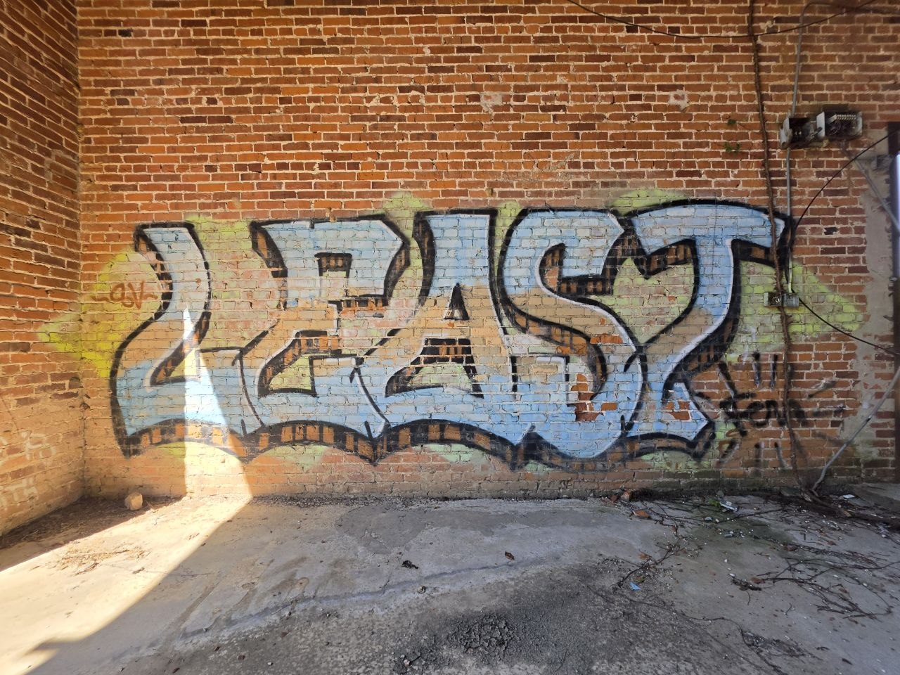
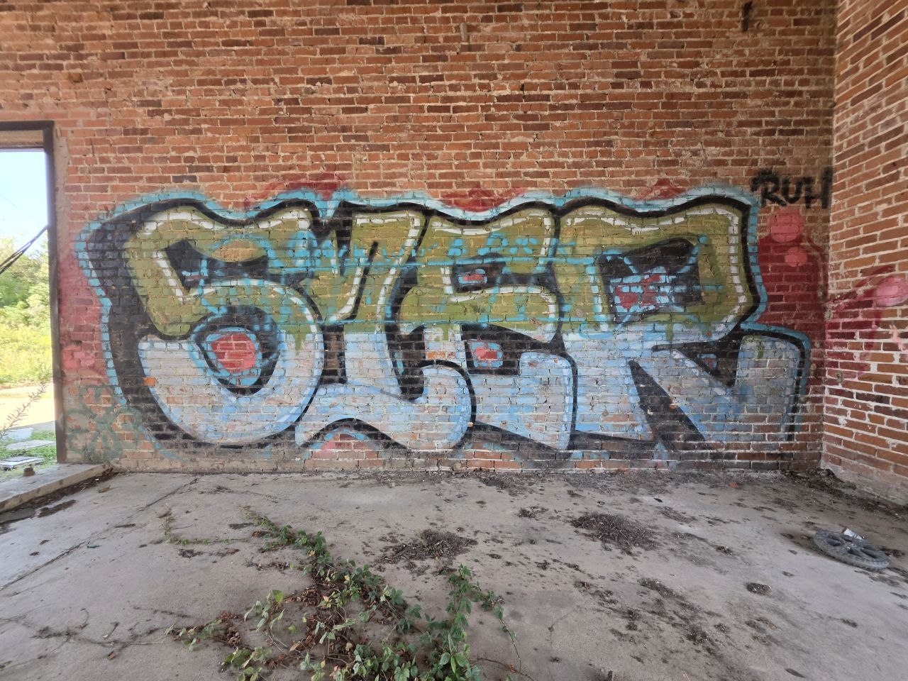
16 site photographs appear in the story. Here are the other 36. Select any image for a closer look.
Photos / Credits / Sources
Photos by Panta Rhei.
Panta Rhei Productions took the 52 contemporary photographs in this edition. They are presented in their original color and full frame, without retouching, cropping or generated additions. The image viewer opens the original files.
The artwork belongs to the people who made it. Captions describe what we can see; they do not assign an artist, a date or an official title. We would like to add proper credits as people come forward.
Five historical images and the Google Earth aerial view are credited separately. Historical locations and dates follow the sources, including an undated Oil Center photograph. Original photographers are identified where the archives provide a name.
If you recognize your work, worked at Trappey’s or have a photograph or story to add, get in touch through www.prp.design. Include the image number if you’re contacting us about a piece.
Local history, image credits & sources — 10 references
- Louisiana National Register Review Committee ↗
Meeting minutes, December 2, 2021, pp. 4–5. Cannery acquisition, operation dates, products, buildings and industrial significance. - National Park Service ↗
National Register weekly lists, 2022, p. 163. Trappey’s Cannery, 501 Guidry Street, listed October 7, 2022; reference SG100008269. - Lafayette Travel ↗
The Vermilion River. Regional history of Pinhook, river commerce, Indigenous presence and the transition toward rail transport. - Downtown Lafayette ↗
The Story of the Development of Downtown Lafayette. Pinhook landing, settlement history and the published 1925 bayou photograph. - Kelly Calhoun, preservation consultant ↗
Trappey’s Cannery: National Register Eligible, June 14, 2021. Workforce, production, products and historical visual material. Early chronology differs from the later review minutes; the later minutes govern this article’s operating dates. - Developing Lafayette ↗
May 29, 2025 coverage documenting an earlier development proposal for the area. - Preservation Alliance of Lafayette ↗
History of the Development of Lafayette, revised 2017, PDF pp. 6–7 and 29. Historical photographs captioned 1925, 1921 and 1916; both credited courtesy of Louis J. Perret, Lafayette Parish Clerk of Courts. Original photographers are not identified. The bridge photograph is displayed at its original embedded resolution, extracted losslessly from the PDF. The historical sources do not state a reuse license; no ownership or public-domain status is claimed. - Discover Lafayette ↗
Discover Lafayette’s Past — 1927 Flood Turns Town into Major Refugee Center, July 10, 2020. Pinhook Bridge photograph and local flood context. Photo credited to the O. C. “Dan” Guilliot collection / Images de Lafayette. - LAGCOE archive ↗
Historical Oil Center aerial and the account of an unofficial 1953 exposition. The image itself is undated. - Oil Center Association ↗
District history and timeline identifying Maurice Heymann’s development of the Oil Center during the 1940s–1950s.
The 2025 reference records the date of an earlier proposal. The acquisition and project update were provided by Panta Rhei Productions. Archival image credits and source links are retained. Historical research reviewed October 20, 2026; project note updated October 21, 2026.